

Menu +
Surveying Built Around Your Project.
Precision on site, clarity at every stage.

Survey Solutions For Every Project Stage.
Coordinated field services and digital deliverables keep your team working from reliable information.
 01 / Construction Surveying
Construction Surveying
Layout, control and verification that connect the design to the work on site.
Control / Layout / Verification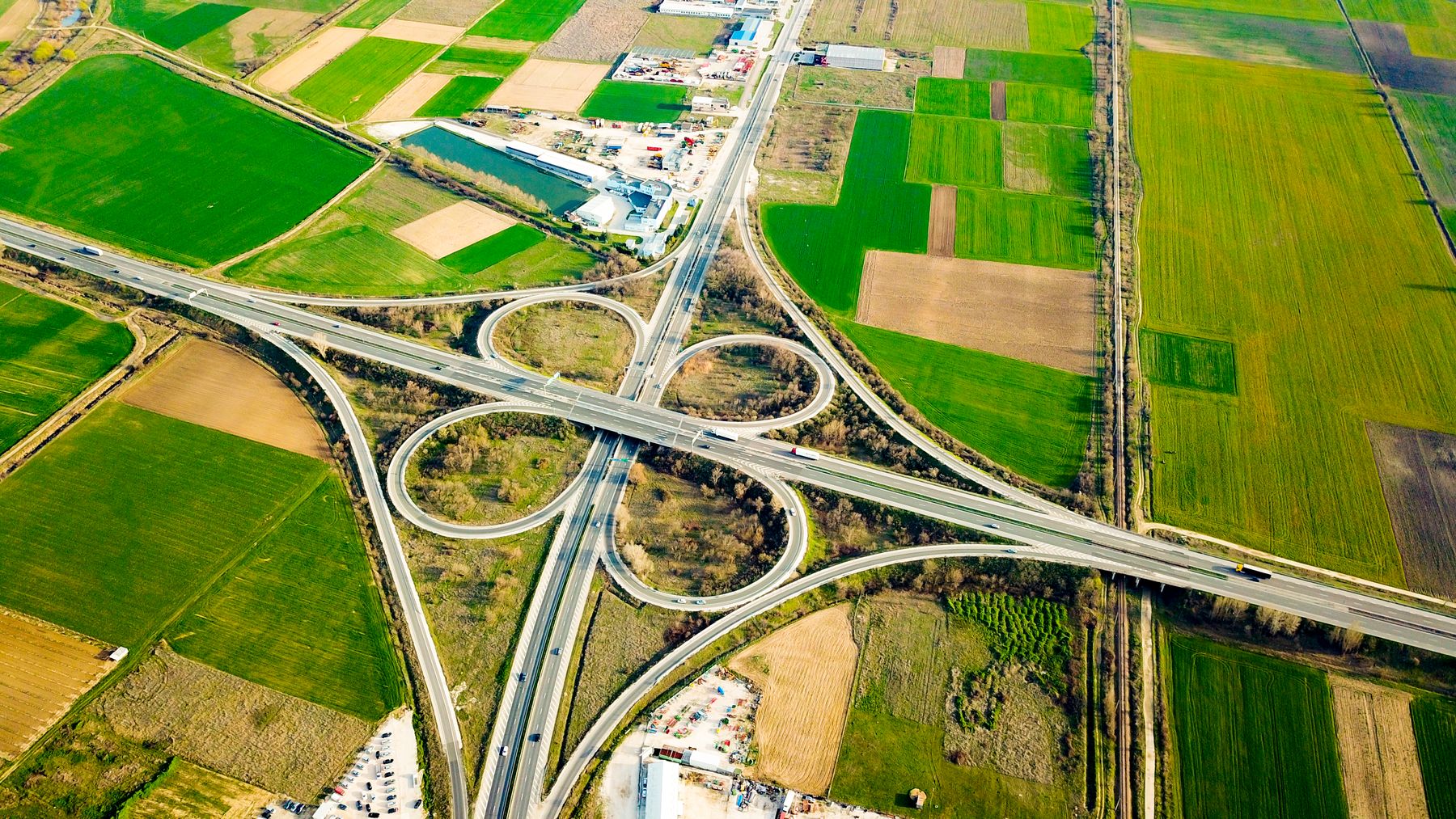 02 / Civil & Infrastructure
Civil & Infrastructure
Topography, grading, utilities and transport infrastructure supported by dependable field data.
Topography / Earthworks / Utilities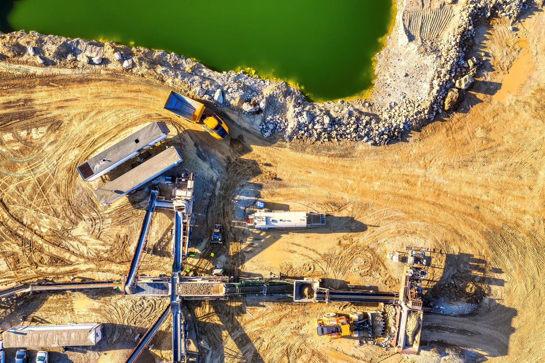 03 / As-Builts & Quantities
As-Builts & Quantities
Progress surveys, volume calculations and as-built records that bring clarity to project reporting.
Progress / Volumes / Closeout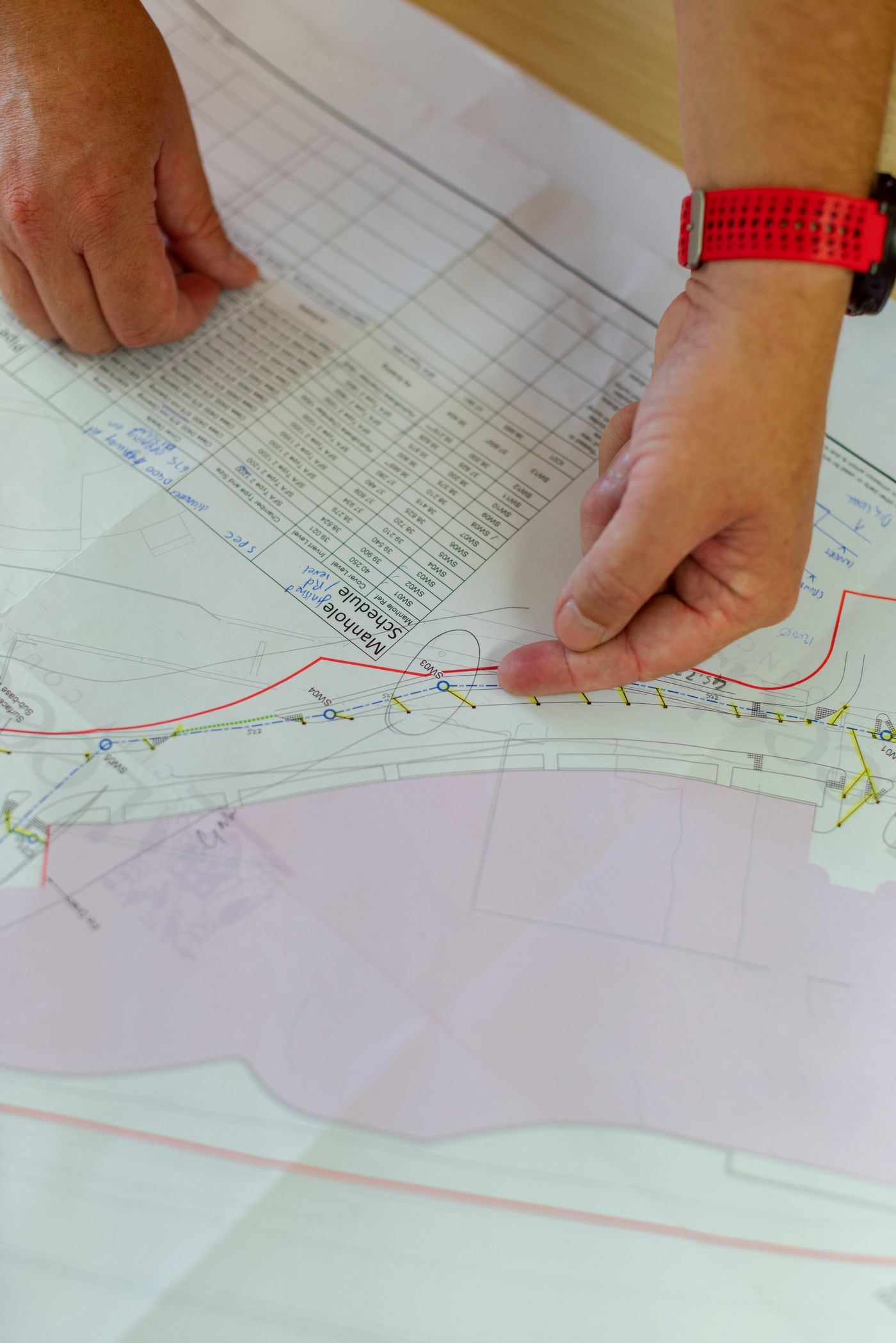 04 / CAD & Digital Surveying
CAD & Digital Surveying
Coordinated CAD, surfaces and survey data that connect field measurements with project decisions.
Drawings / Surfaces / Digital dataPrecision Is A Process.
Checks at each stage keep survey information consistent, traceable and ready for use.
Plan
Scope, control, tolerances and deliverables.
Survey
Accurate field measurements and observations.
Process
Organized, consistent survey data.
Produce
Clear drawings, surfaces and quantities.
Verify
Independent checks and technical review.
Deliver
Coordinated information, ready to use.

Your Field And Office Work As One.
We connect GNSS and robotic surveying with data processing, CAD, quantities and as-built records in one coordinated workflow.
- Responsive support throughout construction
- Consistent data and deliverable standards
- Checks built into the workflow
Where The Work Happens.
Adaptable support for contractors, engineers, owners and development teams across a range of project environments.
Your Next Project Starts With A Clear Picture.
Tell us what you’re building so we can define the survey support it needs.
Menu +
Construction Surveying
Control, layout and verification from the first benchmark to final construction checks.
Set The Work Out With Confidence.
GNSS and robotic total station workflows connect project control with precise layout, line and grade, and construction verification.
- Survey control, benchmarks and traversing
- Building grids, foundations and structural layout
- Anchor bolts, columns and concrete elevations
- Road alignments, curbs and utility layout
- Excavation, subgrade and finished-grade checks
- Line, grade and elevation transfer
- Independent checks against project tolerances
Information Your Team Can Use.
Establish The Reference
Control and benchmarks tied to the agreed project coordinate system and elevation datum.
Support The Build
Clear layout information and field records coordinated with the current drawings and work sequence.
Verify The Result
Measured positions, elevations and verification records for review against project requirements.
Deliverables Aligned With Your Scope.
Before work begins, we agree the project references, survey limits, tolerances, reporting needs and file formats. The result is a scope aligned with the decisions and milestones your team needs to support.
Let’s Define The Survey Support You Need.
Share your scope, location and schedule with our team.
Menu +
Civil & Infrastructure
Survey information that keeps earthworks, utilities and infrastructure moving in the right direction.
Reliable Field Data Guides The Work.
We capture topography and accessible utility features as structured survey data for construction coordination, grading and infrastructure records.
- Topographic and existing-condition surveys
- Earthworks, grading and drainage surveys
- Roadway layout, profiles and cross-sections
- Watermain, sanitary and storm sewer surveys
- Rim, invert and structure elevations
- Mapping of accessible, authorized utility features
- Terrain models and infrastructure inventories
Information Your Team Can Use.
Capture The Site
Coded features, levels and control information provide a consistent record of existing conditions.
Coordinate Infrastructure
Utility information and survey models support plan, profile and section coordination.
Track Construction
Updated surfaces, grade checks and quantity information document progress and change.
Deliverables Aligned With Your Scope.
Before work begins, we agree the project references, survey limits, tolerances, reporting needs and file formats. The result is a scope aligned with the decisions and milestones your team needs to support.
Let’s Define The Survey Support You Need.
Share your scope, location and schedule with our team.
Menu +
As-Builts & Quantities
A reliable record of what was built, what moved and what remains.
Make Progress Measurable.
Measured positions, elevations and surfaces provide a traceable record of installed work, material volumes and construction progress.
- Civil, structural and utility as-built surveys
- Pipe inverts, structure elevations and road geometry
- Construction progress and tolerance verification
- Cut-and-fill and stockpile volumes
- Existing, design and as-built surface comparisons
- Quantity summaries and supporting records
- Coordinated final survey documentation
Information Your Team Can Use.
Document Installed Work
Measured features, locations and elevations for as-built plans and project records.
Quantify The Change
Volume and quantity summaries based on agreed survey limits, surfaces and calculation methods.
Support Closeout
Coordinated final survey information, drawings and quantity records for project turnover.
Deliverables Aligned With Your Scope.
Before work begins, we agree the project references, survey limits, tolerances, reporting needs and file formats. The result is a scope aligned with the decisions and milestones your team needs to support.
Let’s Define The Survey Support You Need.
Share your scope, location and schedule with our team.
Menu +
CAD & Digital Surveying
Field data, structured into drawings and digital deliverables that work for your project.
From Field Information To Working Deliverables.
Trimble Business Center, Civil 3D, AutoCAD and MicroStation workflows turn field observations into coordinated drawings, models and project data.
- GNSS processing, survey adjustment and control review
- Feature coding, survey databases and linework
- TIN surfaces, breaklines and contours
- Alignments, profiles and cross-sections
- Survey-based utility and pipe-network models
- Existing-condition and as-built CAD plans
- DWG, DGN, DXF, LandXML, point files and PDF deliverables
Information Your Team Can Use.
Process The Observations
Coordinate systems, survey networks and coded field records are reviewed before production.
Model The Site
Surfaces, utility networks and drawing views are coordinated around the agreed survey scope.
Deliver Checked Files
Surface integrity, plan/profile consistency and file completeness are reviewed before issue.
Deliverables Aligned With Your Scope.
Before work begins, we agree the project references, survey limits, tolerances, reporting needs and file formats. The result is a scope aligned with the decisions and milestones your team needs to support.
Let’s Define The Survey Support You Need.
Share your scope, location and schedule with our team.
Menu +
Built For Your Project Environment.
Survey support adapted to the site, the scope and the way your project is delivered.

Civil & Heavy Civil
Control, layout, grading and quantities that support coordinated construction across complex sites.
Contact UsWater & Wastewater
Survey support for watermain, sanitary, drainage and treatment infrastructure, from installation through as-built records.
Contact UsIndustrial
Layout, alignment, elevations and verification for facilities, foundations and supporting infrastructure.
Contact UsLand Development
Topographic information, site servicing, grading and construction records for development teams.
Contact UsMunicipal Infrastructure
Field information and documentation for roads, utilities and public infrastructure improvements.
Contact UsMining & Resources
Survey support for earthworks, material volumes, site infrastructure and ongoing project documentation.
Contact UsConnected From Planning To Turnover.
Survey support connects existing conditions, construction layout and final records around your project milestones.
Plan
Scope, control, tolerances and deliverables.
Survey
Accurate field measurements and observations.
Process
Organized, consistent survey data.
Produce
Clear drawings, surfaces and quantities.
Verify
Independent checks and technical review.
Deliver
Coordinated information, ready to use.
Your Next Project Starts With A Clear Picture.
Tell us what you’re building so we can define the survey support it needs.
Menu +
Surveying Built Around Your Project.
A practical approach to survey and geomatics, connecting field precision with clear project information.
Field Precision Informs Every Deliverable.
Helmert Geomatics is a Canadian surveying and geomatics company based in Toronto, primarily serving the Greater Toronto Area. We support construction, infrastructure and development projects, working with contractors, engineers and owners to turn site requirements into clear survey scopes and dependable deliverables.
Our approach brings field operations, data processing and drafting together, keeping the information captured on site useful through coordination, verification and project closeout. We combine technical precision with responsive communication and a practical understanding of the work on site.
Quality Built Into Every Stage.
Confidence In The Reference.
Clear control, coordinate and elevation checks, with review steps appropriate to the scope and project tolerances.
Information That Works On Site.
Survey support planned around construction sequences, access, coordination needs and the people using the results.
A Connected Path To Delivery.
Responsive communication, consistent data handling and organized deliverables from field collection through final review.
Connected From Measurement To Model.
We align survey methods and digital workflows with the work at hand. Technology earns its place by improving the quality, efficiency or usability of the information delivered.
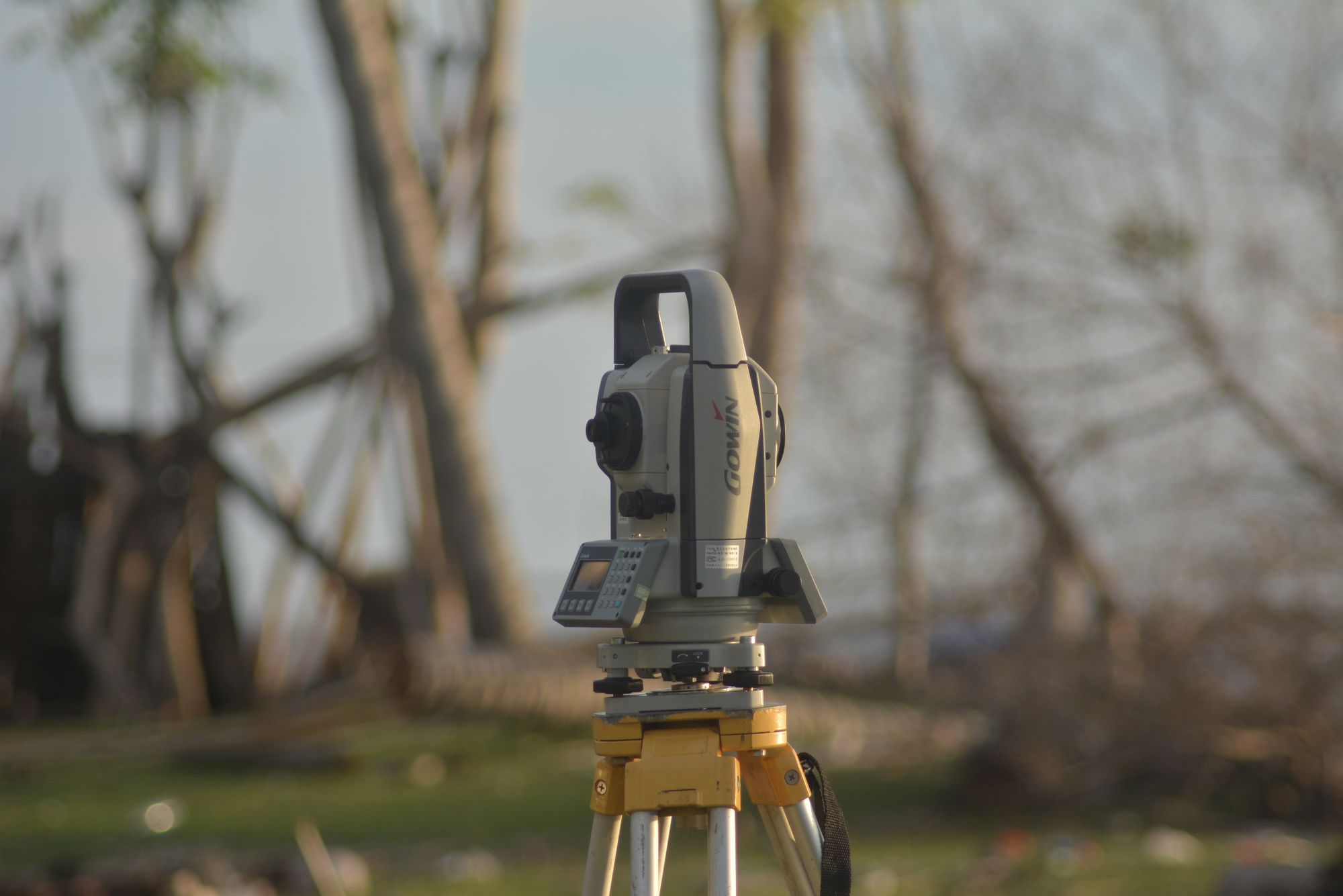
- GNSS and robotic total station surveying
- Survey adjustment and control verification
- Civil 3D surfaces and utility models
- AutoCAD and MicroStation production
- DWG, DGN, LandXML and coordinated survey data
Field checks cover setups, benchmarks and independent observations; office review covers coordinate systems, surface integrity and drawing consistency.
Your Next Project Starts With A Clear Picture.
Tell us what you’re building so we can define the survey support it needs.
Menu +
Contact Us
Tell us your scope, location and timeline.
contact@helmertgeomatics.comToronto, ON M4W 3E2